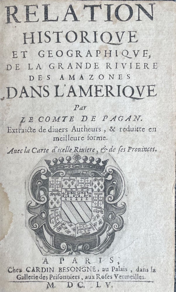
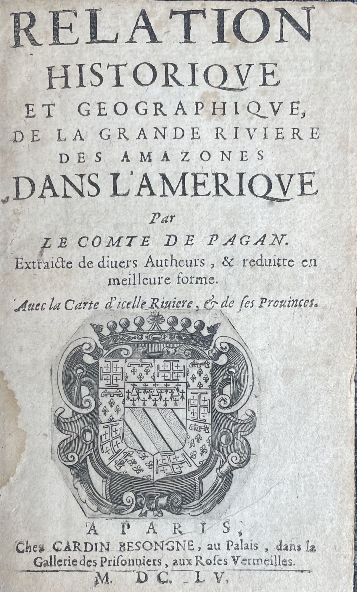
Relation historique et geographique, de la grande riviere des Amazones dans l’Amerique Par le Comte de Pagan. Extraicte de divers Autheurs, & reduitte en meilleure forme. Avec la Carte d’icelle Riviere, & de ses Provinces.
A Paris: Chez Cardin Besonge, au Palais, dans la Gallerie des Prisonnier, aux Roses Vermeilles, , M. DC. LV. [1655]. Extremely scarce first edition of this work, illustrated with the first scientific map of the Amazon River. In somewhat later leather. Panel with ruled in gilt, spine gilt, with red title vignette. Engraved coat of arms on the title page. [4] 190 p., 1 folding map. Rear panel damaged. Inside in fine condition. A very nice copy.
A very rare work by the French military engineer, mathematician, and cartographer Blaise François de Pagan (1604–1665) on the Amazon River. The account is often considered as a paraphrased version of Cristóbal de Acuña’s report on his journey down on the entire length of the river in 1639 (Nuevo descubrimiento del Gran Río de las Amazonas; Madrid, 1641), in fact, the author used other sources too, as declared in the title. The book is dedicated to Cardinal Mazarin, the chief minister of Louis XIV, the de facto ruler of France, and encouraging the French conquest of the Amazon by pointing out five strategic locations for future colonies.
Pagan describes the extent of the river, the indigenous peoples of the Amazon Valley, their customs and culture, the sources and the course of the river and its tributaries, the provinces it crosses and dedicates chapters to the first explorers of the Amazon such as Francisco de Orellana, Pedro de Ursúa and Lope de Aguirre, Juan Bautista Álvarez Maldonado, and the adventures of Franciscan friars and lay brothers (Juan Palacios, Andrés de Toledo and Diego de Brieva) which eventually led to the expedition of Pedro Teixeira and Cristóbal de Acuña.
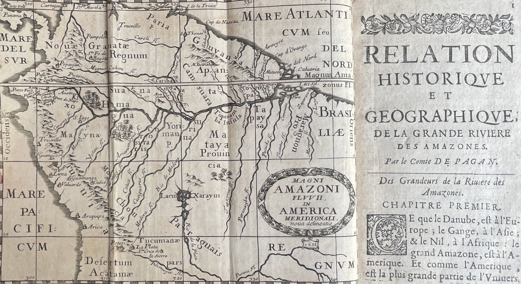
The most important part of Pagan’s work is Magni Amazoni Fluvii, the joint map, graduated in latitude and longitude, calculated after Acuña’s report, who noted distances and some latitudes in his 1641 report. Featuring a network of meridians and parallels, the map is a pioneer for America and is considered the first scientific map of the Amazon Valley. (Cintra, 2011) (Cortesão, 2020) Besides Pagan’s map is printed, the chart contains two other notable improvements compared to earlier maps of the region, which makes it one of most remarkable of all the charts, not only for the Amazon but for the entire region of the Amazon Valley, drawn during the 17th century. The first is that Rio Negro is represented with an origin of the east-west direction, in accordance with reality an in contrary even with the map by Bento da Costa (1637), the first pilot of the Teixeira-expedition, the second is that Pagan’s map locates the spring of the Madeira River in the region of Santa Cruz de la Sierra, which is an exceptional advance over all previous charts, and even to some future maps, among them the otherwise extremely accurate map by Samuel Fritz (1707). Furthermore, Pagan’s map offers the advantage over the two others, that it represents the connection between the Rio Negro and the Orinoco according to the 1630-map by João Teixeira Albernaz. (Cortesão, 2020) Magni Amazoni Fluvii employs various languages for the names of the places some are in Latin, French, English, or Portuguese, but the majority are in Castilian. The river networks and cities with diversified symbols are the main landforms shown, the mountains and forests appear in pictorial representations, the coasts are shaded. The delineation of the Amazon is approximately in line with reality and the directions of the tributaries are more or less correct. (Cintra, 2011)
“This work is very rare, especially with the map which is missing in most copies.” (Borba de Moraes)
Sabin 58141 (1656 edition); Borba de Moraes II pp. 646–7
Literature: Cintra, J. P. 2011. Magni Amazoni Fluvii: o mapa do Conde de Pagan. In: Simpósio Brasileiro de Cartografia Histórica, 2011, Paraty. Anais do 1 Simpósio Brasileiro de Cartografia Histórica. Belo Horizonte: Centro de Referência em Cartografia Histórica UFMG, 2011. v. 1. pp. 1–20.
Retrieved from: https://www.ufmg.br/rededemuseus/crch/simposio/CINTRA_JORGE_PIMENTEL_1.pdf; Cortesão, J. 2020. A cartografia amazônica durante o século XVII. In: Terra Brasilis (Nova Série) [En línea], 2020. v. 14. Retrieved from: http://journals.openedition.org/terrabrasilis/6994 ; DOI : https://doi.org/10.4000/terrabrasilis.6994.
Price: €20,000.00