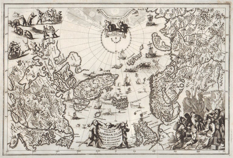
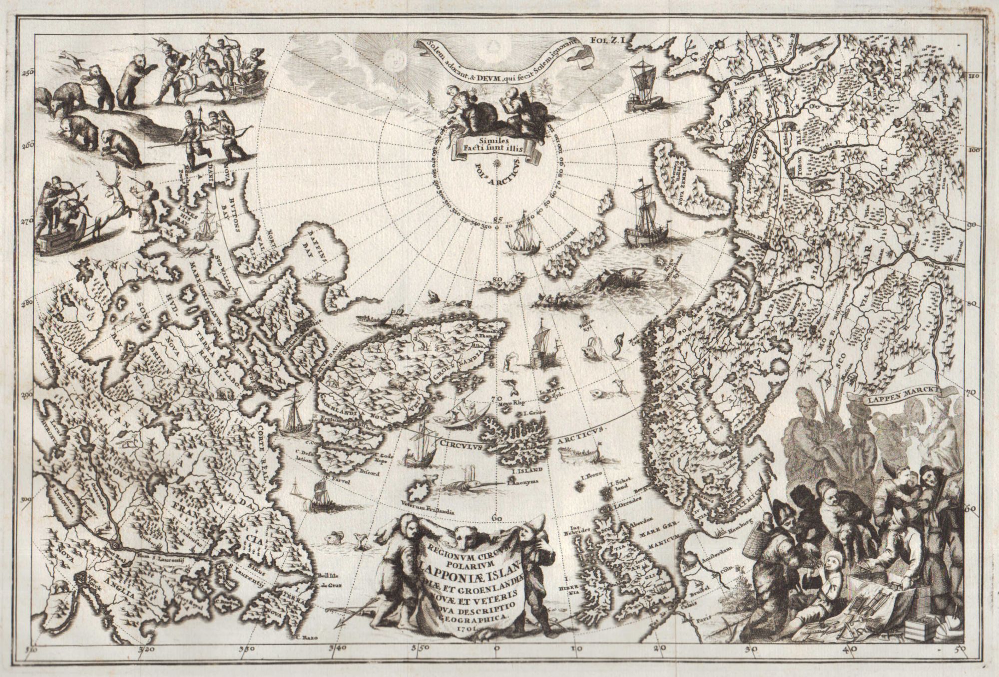
Regionum Circum Polarium Lapponiae Islandiae et Groenlandiae Novae et Veteris Nova Descriptio Geographica 1701.
Munich: 1701 [i.e. 1703]. Copper-engraved map. Uncolored. Verso blank. From Heinrich Scherer’s Atlas Novus. 350 (394) × 230 (278) mm. Traces of folding as issued. Fine impression, clean and bright copy.
An attractive map of the North Pole and adjacent land masses. An important milestone in the development of scientific and thematic cartography, providing remarkable and revolutionary alternative version of the World in showing only its major physical and topographical features.
This highly decorative map showing the North Pole, North America and the northwest of Europe and Asia, including Greenland, Lapland, the British Isles, Iceland, Nova Zemblya, Hudson Bay, New England, Northern Canada, Europe, and Russia, etc. As it is typical for the period the possibility of both Northeast and Northwest Passages to the Far East left open. Filled with images of sailing ships, sea monsters, hunting, fishing and exploration scenes. Title cartouche is engraved onto the hide of a polar bear and held up by two hunters. At the lower right-hand corner, a skillfully engraved scene showing Lap merchants trading their goods and tools. At the upper left corner a scene of bear hunting on sledges drawn by reindeer.
Heinrich Scherer’s maps are known for the decorative iconography and revolutionary thematic nature. Atlas Novus is regarded as a pioneer work in the course of the development of the thematic cartography.
.
Price: €800.00